
Talega Airport WeatherCam
Still image from the agency, re-checked every five minutes while this page is open. The time shown is when your browser last loaded it, not when the camera took it.
All views at Talega · 4 directions · FAA WeatherCams
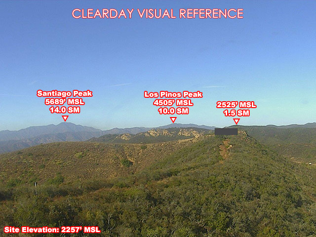
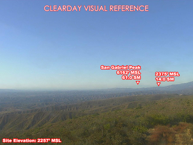
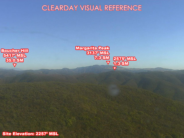
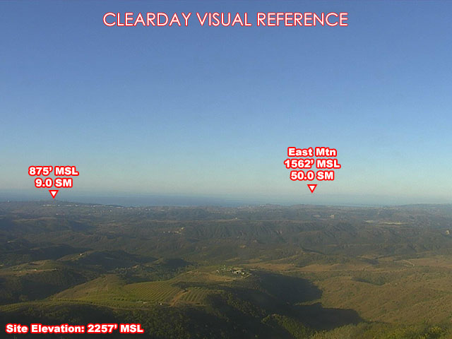
About this camera
FAA weather camera at Talega — 4 live views (North, Southeast, Southwest, Northwest). Updated every 5-10 minutes from the FAA WeatherCams program.
This location
Nearby cameras
 Bell Canyon Airport WeatherCam12 km away · FAA WeatherCams
 SR-74 : (712) San Antonio13 km away · Caltrans
 Buffalo Bump Airport WeatherCam14 km away · FAA WeatherCams
 Santiago Peak CalOES Airport WeatherCam22 km away · FAA WeatherCams
 SR-1 : (591) SB PCH at Broadway28 km away · Caltrans
 SR-1 : (592) NB PCH at Broadway28 km away · Caltrans
 Signal Peak Airport WeatherCam32 km away · FAA WeatherCams
 (C177) WB 76: Old 395 Hwy36 km away · Caltrans