
Santiago Peak CalOES Airport WeatherCam
Still image from the agency, re-checked every five minutes while this page is open. The time shown is when your browser last loaded it, not when the camera took it.
All views at Santiago Peak CalOES · 3 directions · FAA WeatherCams
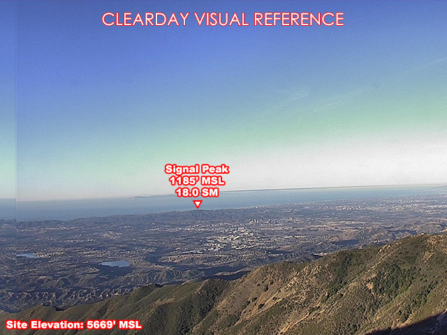
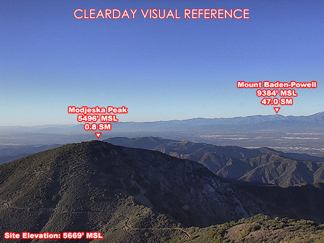
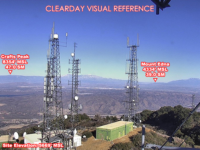
About this camera
FAA weather camera at Santiago Peak CalOES — 3 live views (Northeast, West, Northwest). Updated every 5-10 minutes from the FAA WeatherCams program.
This location
Nearby cameras
- Bell Canyon Airport WeatherCam11 km away · FAA WeatherCams
- Talega Airport WeatherCam22 km away · FAA WeatherCams
 SR-74 : (712) San Antonio23 km away · Caltrans
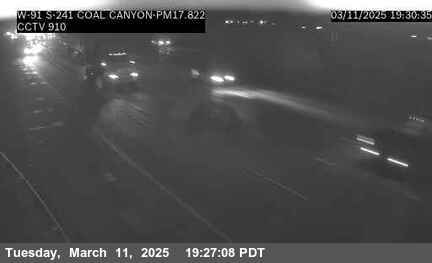 SR-91: (910) WB SR-91 at SR-241, Coal Canyon23 km away · Caltrans
- Signal Peak Airport WeatherCam28 km away · FAA WeatherCams
- Chino Hills Airport WeatherCam29 km away · FAA WeatherCams
 SR-1 : (591) SB PCH at Broadway30 km away · Caltrans
 SR-1 : (592) NB PCH at Broadway30 km away · Caltrans