
Mt San Miguel Airport WeatherCam
Still image from the agency, re-checked every five minutes while this page is open. The time shown is when your browser last loaded it, not when the camera took it.
All views at Mt San Miguel · 4 directions · FAA WeatherCams
About this camera
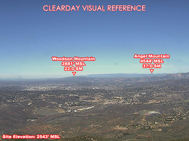
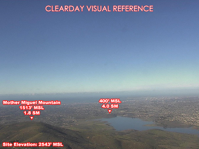
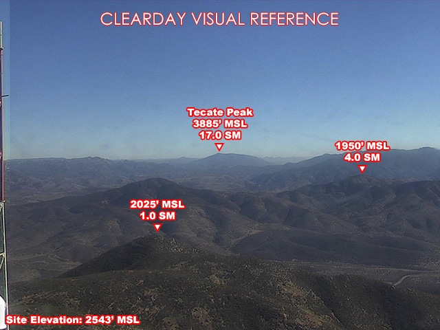
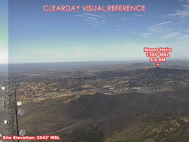
FAA weather camera at Mt San Miguel — 4 live views (North, Southeast, West, Northwest). Updated every 5-10 minutes from the FAA WeatherCams program.
This location
Nearby cameras
- Otay Mtn Airport WeatherCam14 km away · FAA WeatherCams
- Gillespie Field Airport WeatherCam15 km away · FAA WeatherCams
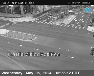 (C291) NB 15 : El Cajon Blvd17 km away · Caltrans
 (C224) SB 67: Winter Garden OC18 km away · Caltrans
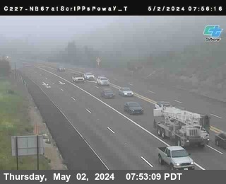 (C227) NB 67: Scripps Poway Top29 km away · Caltrans
 (C091) SB 15 : Del Lago44 km away · Caltrans
- Coronado Hills Airport WeatherCam50 km away · FAA WeatherCams
- Mesa Grande Airport WeatherCam57 km away · FAA WeatherCams