
Coronado Hills Airport WeatherCam
Still image from the agency, re-checked every five minutes while this page is open. The time shown is when your browser last loaded it, not when the camera took it.
All views at Coronado Hills · 4 directions · FAA WeatherCams
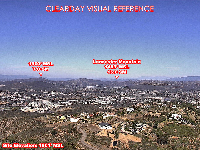
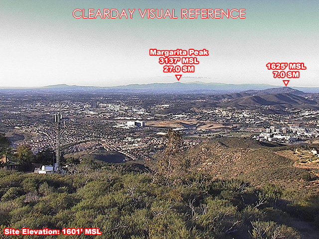
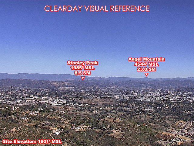
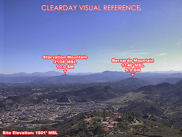
About this camera
FAA weather camera at Coronado Hills — 4 live views (North, Northeast, Southeast, Northwest). Updated every 5-10 minutes from the FAA WeatherCams program.
This location
Nearby cameras
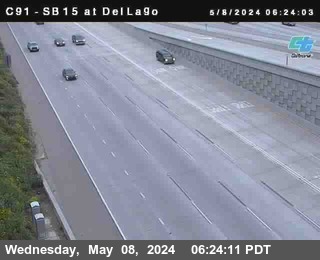 (C091) SB 15 : Del Lago8.7 km away · Caltrans
 (C178) WB 76: Old 395 Hwy24 km away · Caltrans
 (C177) WB 76: Old 395 Hwy24 km away · Caltrans
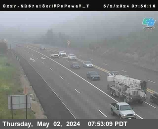 (C227) NB 67: Scripps Poway Top24 km away · Caltrans
 (C224) SB 67: Winter Garden OC35 km away · Caltrans
 Gillespie Field Airport WeatherCam36 km away · FAA WeatherCams
 Mesa Grande Airport WeatherCam38 km away · FAA WeatherCams
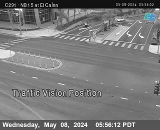 (C291) NB 15 : El Cajon Blvd40 km away · Caltrans