Port of CamsRoad & weather cams
FAA WeatherCams · weather camera

Shageluk Airport WeatherCam

Shageluk, AK · Shageluk (PAHX)

Shageluk Airport WeatherCam — current weather camera image
Loading the latest image…Open image ↗

Still image from the agency, re-checked every five minutes while this page is open. The time shown is when your browser last loaded it, not when the camera took it.

All views at Shageluk · 4 directions · FAA WeatherCams · PAHX

Each view loads when you tap it, so the page itself fetches only the main image.

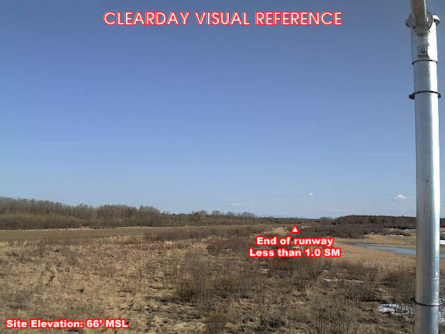
Shageluk — North (tap to load)
North · 344° · clear-day reference
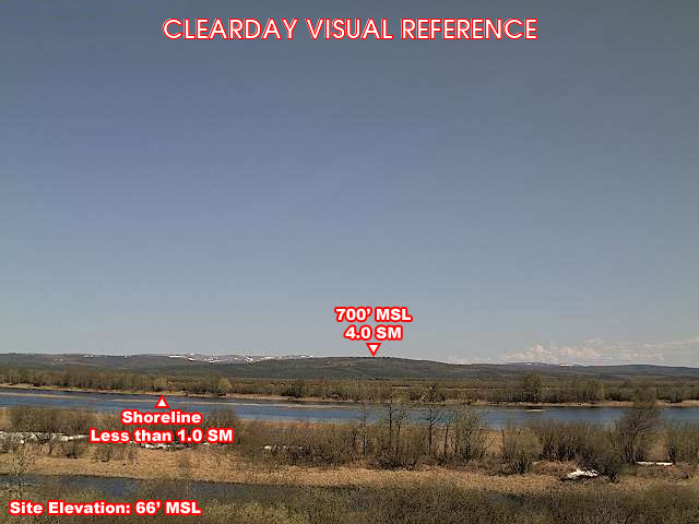
Shageluk — East (tap to load)
East · 70° · clear-day reference
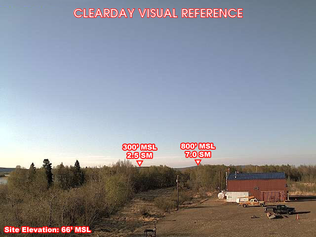
Shageluk — South (tap to load)
South · 160° · clear-day reference
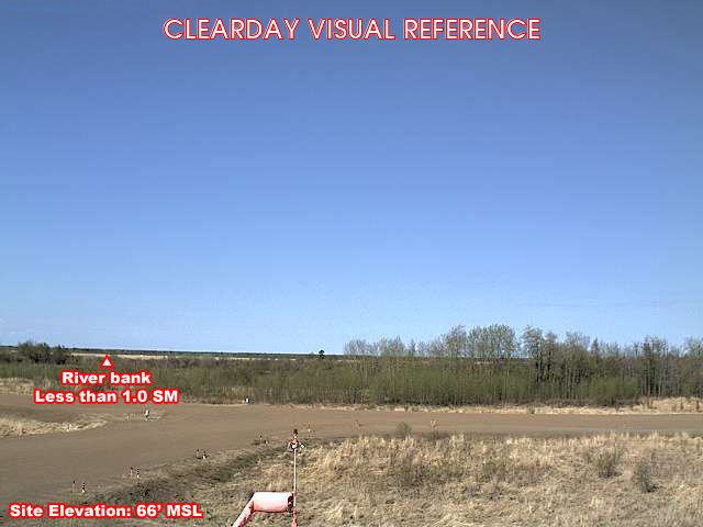
Shageluk — West (tap to load)
West · 264° · clear-day reference

About this camera

FAA weather camera at Shageluk (PAHX) — 4 live views (North, East, South, West). Updated every 5-10 minutes from the FAA WeatherCams program.

Source: FAA WeatherCams. More from Alaska and FAA WeatherCams.

This location

Nearest town
Shageluk, AK
Elevation
20 m (66 ft)
Nearest weather station
Shageluk Arpt (PAHX), 0 km
Coordinates
62.6881, -159.5665

Nearby cameras