
Mt Lewis Airport WeatherCam
Still image from the agency, re-checked every five minutes while this page is open. The time shown is when your browser last loaded it, not when the camera took it.
All views at Mt Lewis · 4 directions · FAA WeatherCams
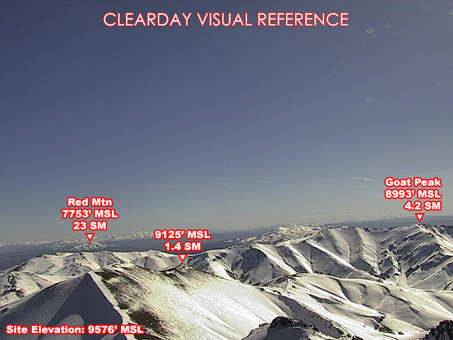
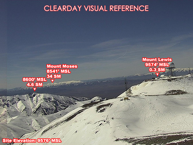
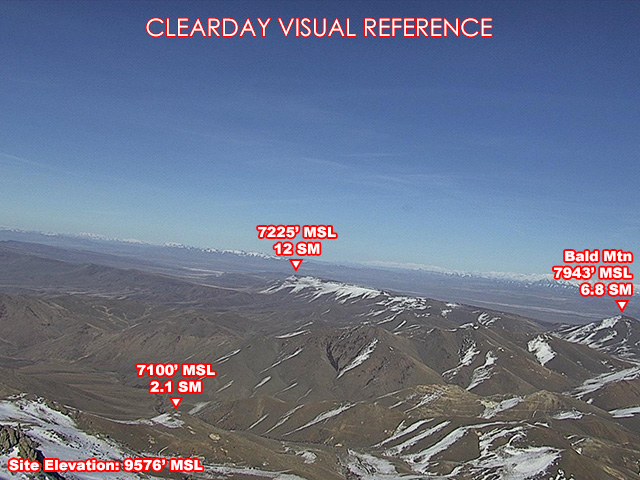
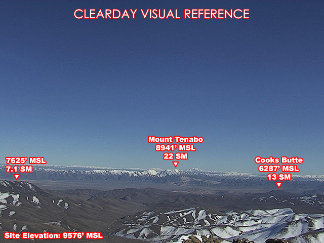
About this camera
FAA weather camera at Mt Lewis — 4 live views (Northeast, Southeast, South, West). Updated every 5-10 minutes from the FAA WeatherCams program.
This location
Nearby cameras
I80 Battle Mountain MM231 LA6.227 km away · Nevada DOT
I80 Dunphy MM252 LA26.8739 km away · Nevada DOT
I-80 Emigrant E/B Chain Up MM263 EU10.552 km away · Nevada DOT
IR-80 MM 269 Emigrant Summit EU 1857 km away · Nevada DOT
I-80 Emigrant W/B Chain Up MM275 MM23.559 km away · Nevada DOT
I80-Golconda W/B MM205 Pumpernickel HU42.565 km away · Nevada DOT
SR278 Carlin EL MM0268 km away · Nevada DOT
I-80 & Golconda East Bound MM196 Chain Up HU3276 km away · Nevada DOT