Port of CamsRoad & weather cams
FAA WeatherCams · weather camera

Mojave Air and Space Port Airport WeatherCam

Mojave, CA · Mojave Admin

Mojave Air and Space Port Airport WeatherCam — current weather camera image
Loading the latest image…Open image ↗

Still image from the agency, re-checked every five minutes while this page is open. The time shown is when your browser last loaded it, not when the camera took it.

All views at Mojave Air and Space Port · 4 directions · FAA WeatherCams
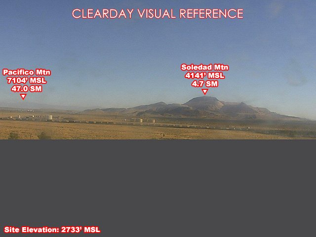
Mojave Air and Space Port — South
South · 190° · clear-day reference
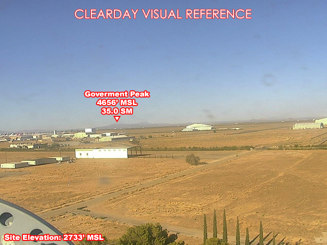
Mojave Air and Space Port — West
West · 250° · clear-day reference
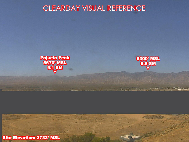
Mojave Air and Space Port — NorthWest
NorthWest · 315° · clear-day reference
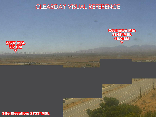
Mojave Air and Space Port — NorthEast
NorthEast · 60° · clear-day reference

About this camera

FAA weather camera at Mojave Air and Space Port — 4 live views (Northeast, South, West, Northwest). Updated every 5-10 minutes from the FAA WeatherCams program.

Source: FAA WeatherCams. More from California and FAA WeatherCams.

This location

Nearest town
Mojave, CA
Elevation
833 m (2,733 ft)
Nearest weather station
Mojave Arpt (KMHV), 2 km
Coordinates
35.0462, -118.1625

Nearby cameras