
King Mtn Airport WeatherCam
Still image from the agency, re-checked every five minutes while this page is open. The time shown is when your browser last loaded it, not when the camera took it.
All views at King Mtn · 4 directions · FAA WeatherCams
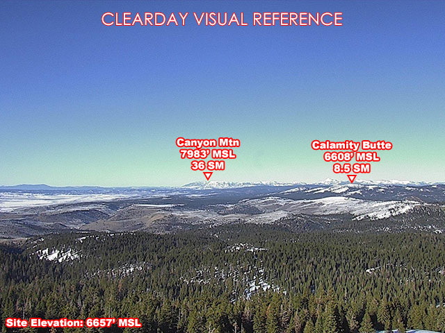
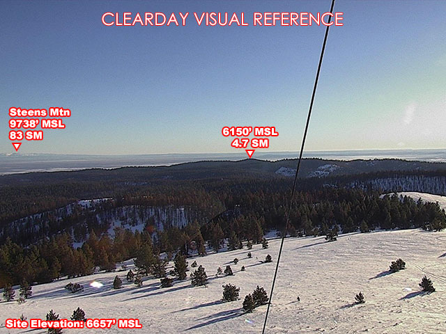
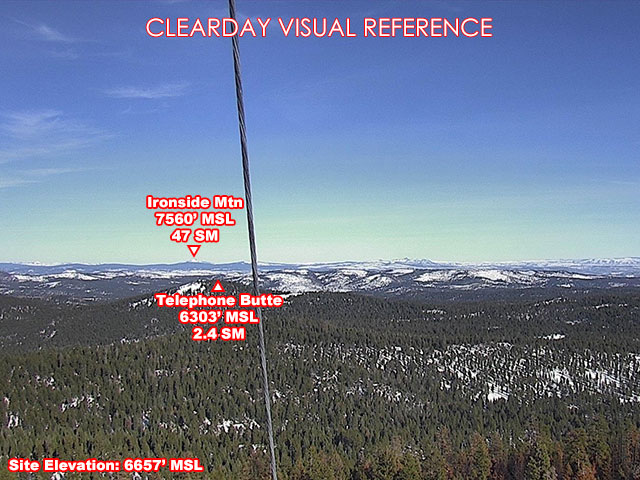
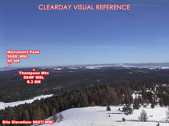
About this camera
FAA weather camera at King Mtn — 4 live views (North, Northeast, Southeast, South). Updated every 5-10 minutes from the FAA WeatherCams program.
This location
Nearby cameras
 US20 at US395 Burns26 km away · Oregon DOT
 US20 at Stinking Water Summit30 km away · Oregon DOT
 US20 at Stinking Water Summit30 km away · Oregon DOT
 US395C at Seneca37 km away · Oregon DOT
 US20 at Drinkwater Pass43 km away · Oregon DOT
Local Drinkwater Pass, OR59 km away · Idaho Transportation Department
 US20 at Drinkwater Pass60 km away · Oregon DOT
 US20 at US395 - Riley60 km away · Oregon DOT