
Fish Creek Rim Airport WeatherCam
Still image from the agency, re-checked every five minutes while this page is open. The time shown is when your browser last loaded it, not when the camera took it.
All views at Fish Creek Rim · 4 directions · FAA WeatherCams
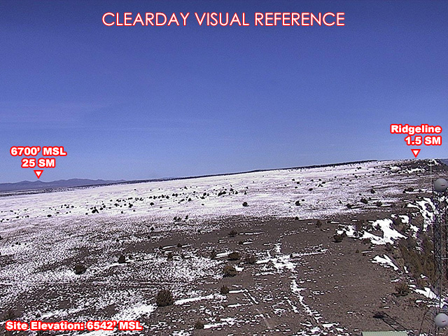
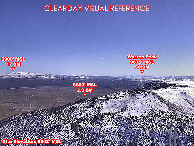
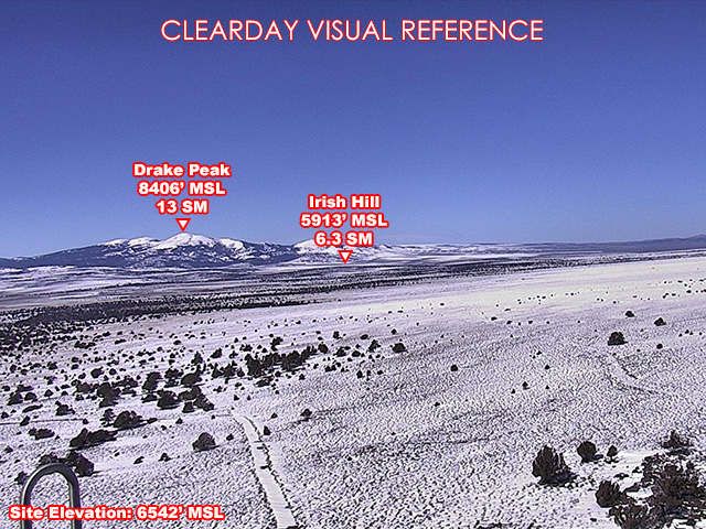
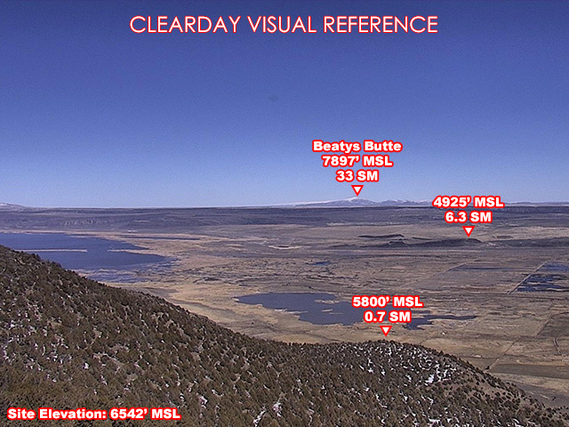
About this camera
FAA weather camera at Fish Creek Rim — 4 live views (North, Northeast, South, Northwest). Updated every 5-10 minutes from the FAA WeatherCams program.
This location
Nearby cameras
 OR140 at Adel2.6 km away · Oregon DOT
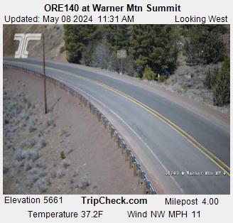 OR140 at Warner Mtn Summit31 km away · Oregon DOT
 US395 at Lakeview35 km away · Oregon DOT
 US395 at Valley Falls - ORE3144 km away · Oregon DOT
- Yellow Peak Airport WeatherCam46 km away · FAA WeatherCams
 OR140 at Nevada State Line53 km away · Oregon DOT
 OR140 at Nevada State Line53 km away · Oregon DOT
- Beaty Butte Airport WeatherCam54 km away · FAA WeatherCams