
Ennis Big Sky Airport WeatherCam
Still image from the agency, re-checked every five minutes while this page is open. The time shown is when your browser last loaded it, not when the camera took it.
All views at Ennis Big Sky · 4 directions · FAA WeatherCams · EKS
About this camera
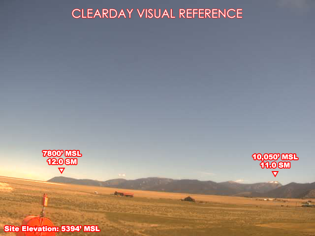
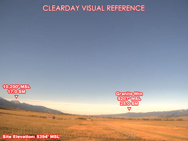
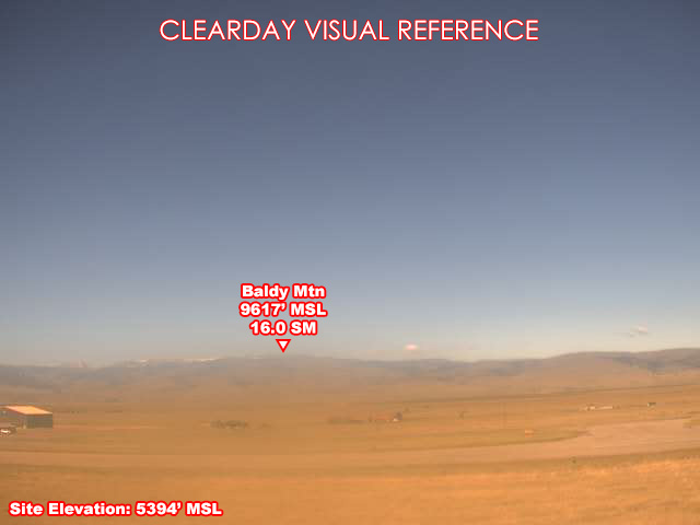
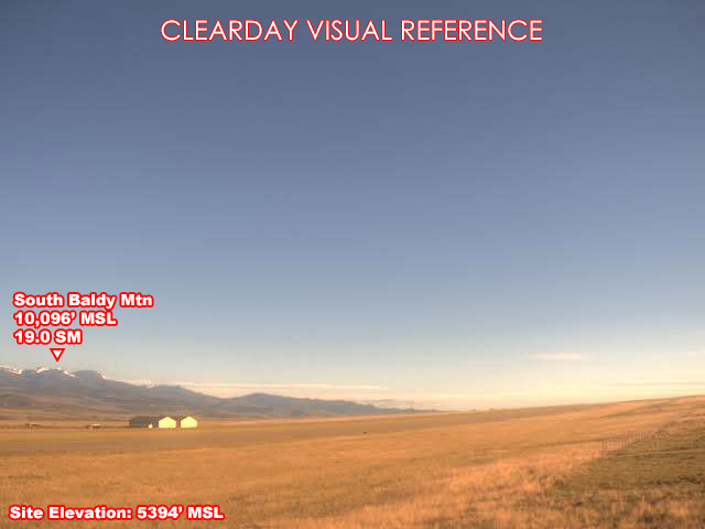
FAA weather camera at Ennis Big Sky (EKS) — 4 live views (North, South, West, Northwest). Updated every 5-10 minutes from the FAA WeatherCams program.
This location
Nearby cameras
- Madison Hill Airport WeatherCam24 km away · FAA WeatherCams
- Twin Bridges Airport WeatherCam59 km away · FAA WeatherCams
Local Raynolds Pass, MT62 km away · Idaho Transportation Department
- Three Forks Airport WeatherCam68 km away · FAA WeatherCams
- Bozeman Airport Airport WeatherCam69 km away · FAA WeatherCams
US-20 Henrys Lake77 km away · Idaho Transportation Department
- Bozeman Pass Airport WeatherCam79 km away · FAA WeatherCams
D6 US-20 8.6 West Yellowstone 6-179 km away · Idaho Transportation Department