
Duncan Peak Lookout Airport WeatherCam
Still image from the agency, re-checked every five minutes while this page is open. The time shown is when your browser last loaded it, not when the camera took it.
All views at Duncan Peak Lookout · 4 directions · FAA WeatherCams
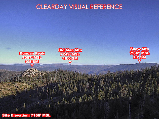
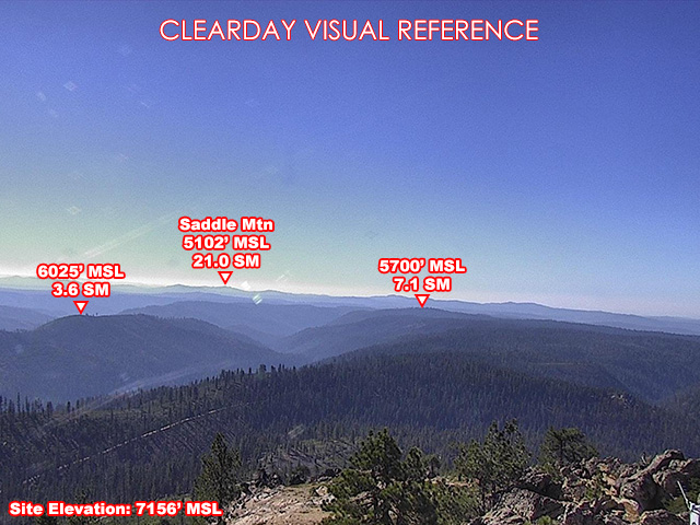
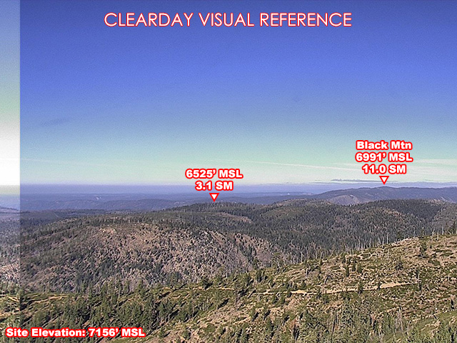
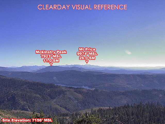
About this camera
FAA weather camera at Duncan Peak Lookout — 4 live views (North, Southeast, South, Northwest). Updated every 5-10 minutes from the FAA WeatherCams program.
This location
Nearby cameras
- Truckee Airport Airport WeatherCam37 km away · FAA WeatherCams
SR-28 @ Crystal Bay45 km away · Nevada DOT
SR431 east of SR2848 km away · Nevada DOT
SR28 south of SR43148 km away · Nevada DOT
US50 @ Cave Rock50 km away · Nevada DOT
SR-28 @ Sand Harbor51 km away · Nevada DOT
SR431 Country Club Dr51 km away · Nevada DOT
SR431 Diamond Peak52 km away · Nevada DOT