
Dolly Varden Airport WeatherCam
Still image from the agency, re-checked every five minutes while this page is open. The time shown is when your browser last loaded it, not when the camera took it.
All views at Dolly Varden · 4 directions · FAA WeatherCams
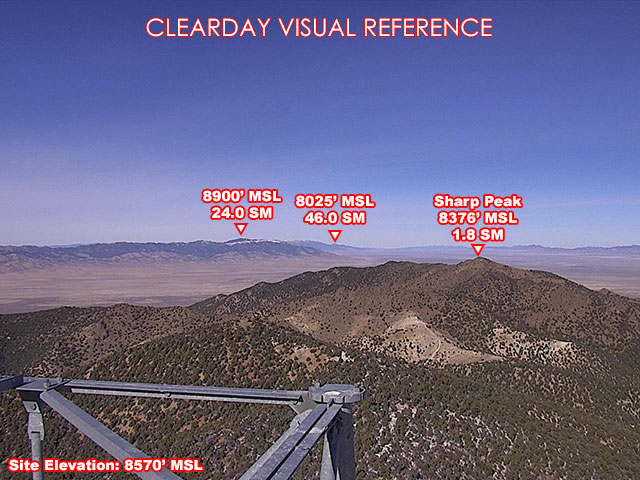
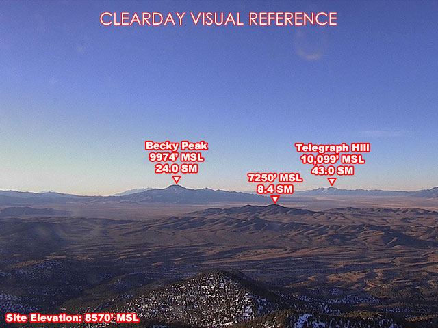
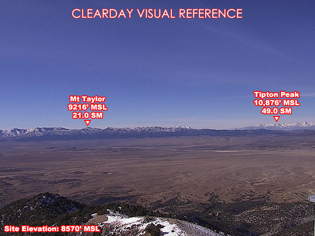
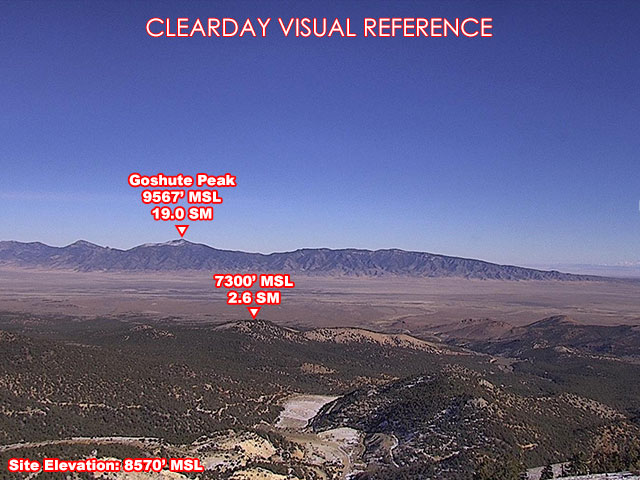
About this camera
FAA weather camera at Dolly Varden — 4 live views (North, Northeast, South, West). Updated every 5-10 minutes from the FAA WeatherCams program.
This location
Nearby cameras
US93 Palamino EL MM22.524 km away · Nevada DOT
IR-80 MM 409 Wendover @ Stateline EL13263 km away · Nevada DOT
I-80 EB @ Wendover / UT MP -1.4 / NV MP 409.25, WEN63 km away · Utah DOT
Local I-80 & West Wendover64 km away · Idaho Transportation Department
IR-80 MM 398 Pilot Valley EL10065 km away · Nevada DOT
I-80 RWIS WB @ Milepost 1.24, WEN65 km away · Utah DOT
I-80 EB @ West of POE / MP 2.44, WEN67 km away · Utah DOT
SR229 EL MM 27 Ruby Valley RWIS71 km away · Nevada DOT