
Delano Airport WeatherCam
Still image from the agency, re-checked every five minutes while this page is open. The time shown is when your browser last loaded it, not when the camera took it.
All views at Delano · 4 directions · FAA WeatherCams
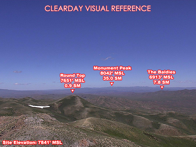
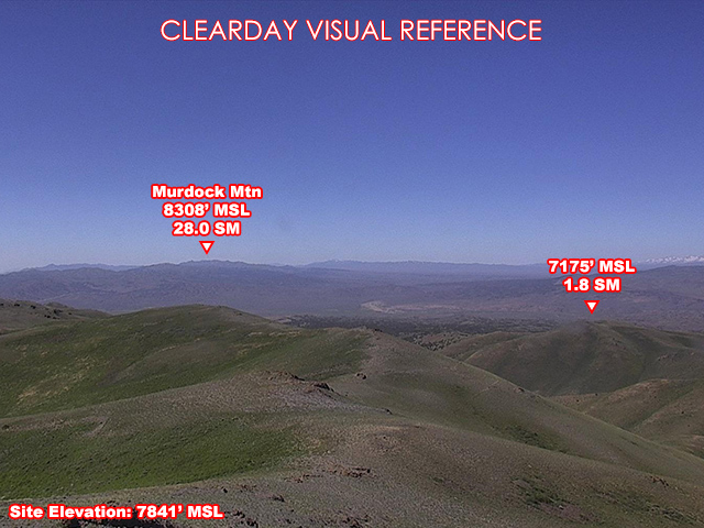
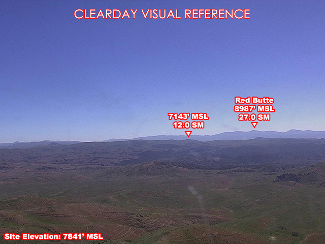
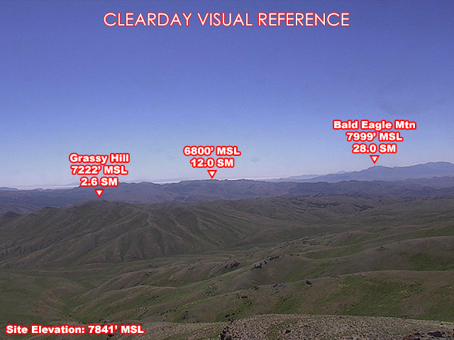
About this camera
FAA weather camera at Delano — 4 live views (North, Northeast, Southeast, South). Updated every 5-10 minutes from the FAA WeatherCams program.
This location
Nearby cameras
SR-30 @ Milepost 2.3, BE35 km away · Utah DOT
Local US-93 O'Neil Basin - Henry45 km away · Idaho Transportation Department
Local Jackpot, NV52 km away · Idaho Transportation Department
Local SR-223 Loray53 km away · Idaho Transportation Department
US-93 Jackpot56 km away · Idaho Transportation Department
US93 BISHOP EL MM8861 km away · Nevada DOT
Local US-93 Bishop - Melandco61 km away · Idaho Transportation Department
SR-30 @ Warm Springs Rd / MP 44, BE65 km away · Utah DOT