
Cline Butte Airport WeatherCam
Still image from the agency, re-checked every five minutes while this page is open. The time shown is when your browser last loaded it, not when the camera took it.
All views at Cline Butte · 4 directions · FAA WeatherCams
About this camera
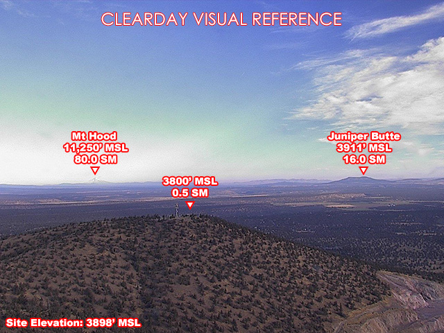
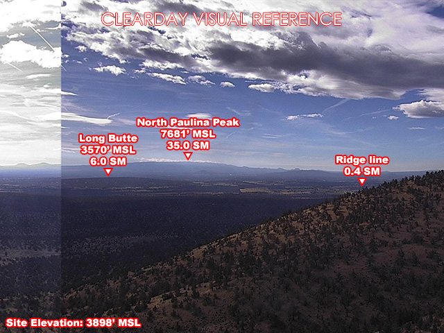
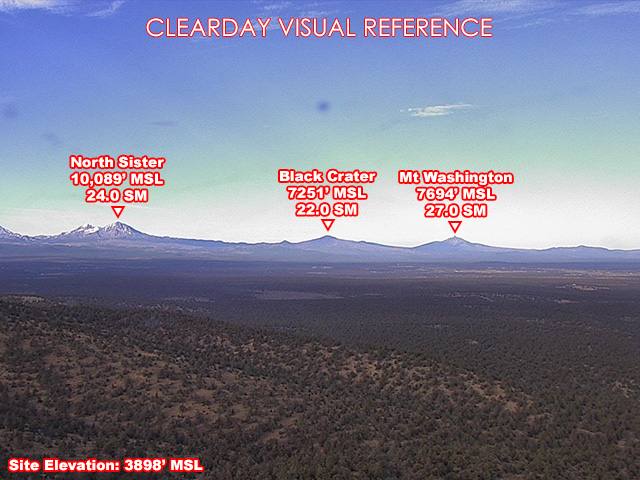
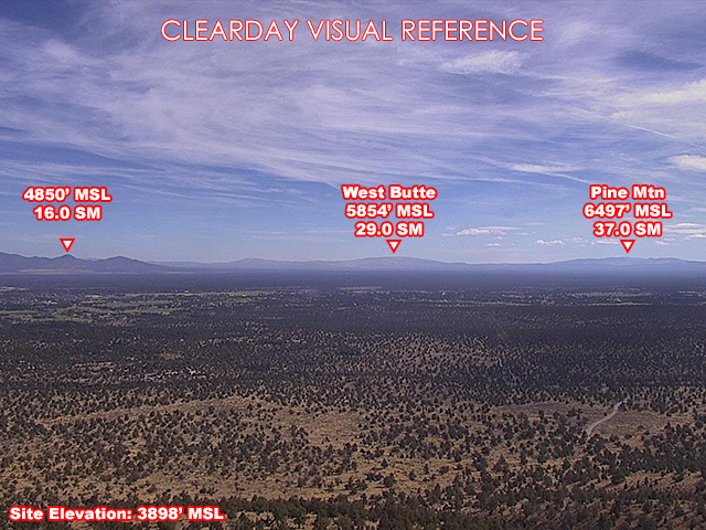
FAA weather camera at Cline Butte — 4 live views (North, Southeast, South, West). Updated every 5-10 minutes from the FAA WeatherCams program.
This location
Nearby cameras
 US97 at SW 61st St S9.6 km away · Oregon DOT
 OR126 – Highland Ave at SW 5th St10.0 km away · Oregon DOT
 US97 at Evergreen / ORE12610 km away · Oregon DOT
 Redmond at Roberts Field11 km away · Oregon DOT
 US20 at Cooley Rd16 km away · Oregon DOT
 US97 at Cooley Rd.17 km away · Oregon DOT
 US97 at Ogden Wayside17 km away · Oregon DOT
 US97 at Ogden Wayside17 km away · Oregon DOT