
Antelope Mtn Yreka Airport WeatherCam
Still image from the agency, re-checked every five minutes while this page is open. The time shown is when your browser last loaded it, not when the camera took it.
All views at Antelope Mtn Yreka · 4 directions · FAA WeatherCams
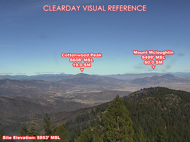
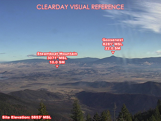
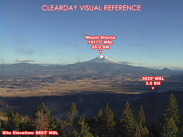
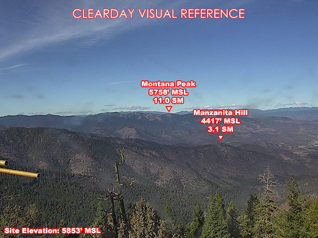
About this camera
FAA weather camera at Antelope Mtn Yreka — 4 live views (North, Northeast, Southeast, Northwest). Updated every 5-10 minutes from the FAA WeatherCams program.
This location
Nearby cameras
 I-5 California at South Yreka8.5 km away · Oregon DOT
 I-5 California at Yreka14 km away · Oregon DOT
- Fort Jones Airport WeatherCam21 km away · FAA WeatherCams
- Weed Airport WeatherCam27 km away · FAA WeatherCams
- Hornbrook Airport WeatherCam36 km away · FAA WeatherCams
 US97 California at Grass Lake36 km away · Oregon DOT
 I-5 California at Hilt43 km away · Oregon DOT
 I-5 California at North Hilt43 km away · Oregon DOT