
Angel Peak Airport WeatherCam
Still image from the agency, re-checked every five minutes while this page is open. The time shown is when your browser last loaded it, not when the camera took it.
All views at Angel Peak · 3 directions · FAA WeatherCams
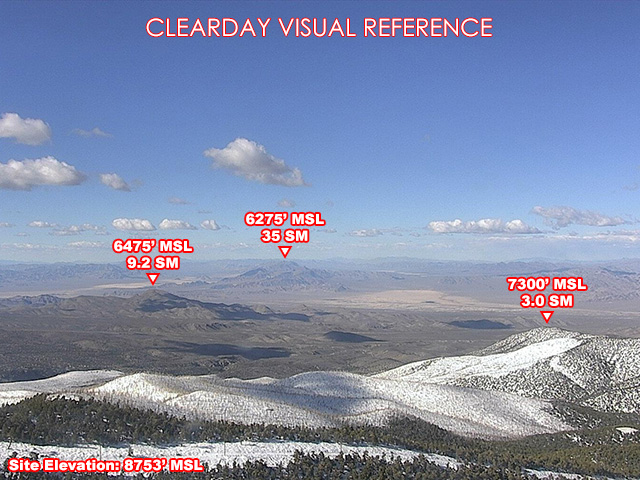
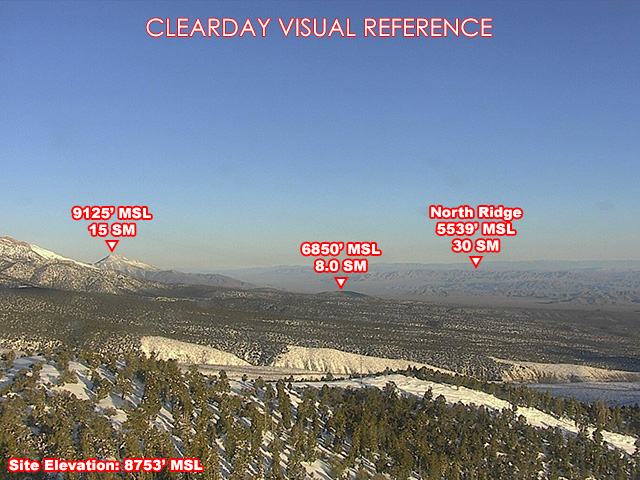
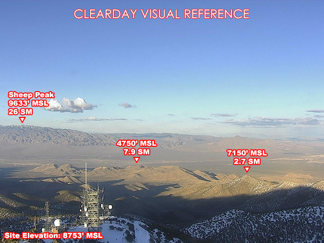
About this camera
FAA weather camera at Angel Peak — 3 live views (North, Northeast, Northwest). Updated every 5-10 minutes from the FAA WeatherCams program.
This location
Nearby cameras
SR-158 NB Deer Creek4.1 km away · Nevada DOT
SR-157 NB Kyle Canyon7.1 km away · Nevada DOT
I-215 Centennial23 km away · Nevada DOT
Lone Mountian Rd & CC 215 NB Ramp25 km away · Nevada DOT
I-215 Summerlin (dual)25 km away · Nevada DOT
Durango Dr & Oso Blanca Rd26 km away · Nevada DOT
Far Hills Ave & CC 215 NB26 km away · Nevada DOT
Durango Dr & US 95 NB Ramp26 km away · Nevada DOT